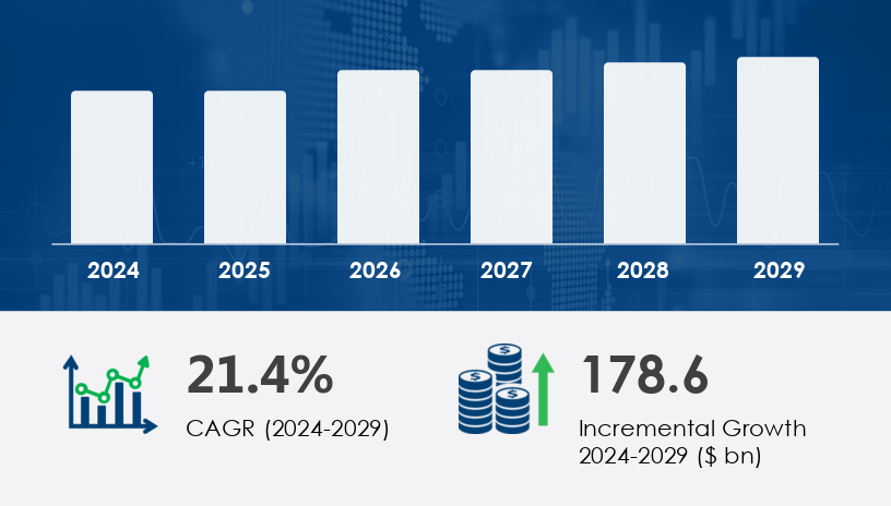
The global geospatial analytics market is poised for exponential growth, projected to increase by USD 178.6 billion at a CAGR of 21.4% between 2024 and 2029. This growth is underpinned by a surge in the adoption of geospatial intelligence across critical sectors such as healthcare, insurance, urban planning, and disaster management, all of which are leveraging spatial data to enhance decision-making, operational efficiency, and resource allocation.
For more details about the industry, get the PDF sample report for free
Geospatial analytics refers to the gathering, display, and manipulation of imagery, GPS, satellite photography, and historical data, represented in a spatial format. The market is experiencing robust growth, primarily driven by the widespread integration of cloud computing, GIS software, and spatial data infrastructure (SDI). These technologies enable the aggregation and analysis of location-based data across dynamic environments, allowing stakeholders in public safety, real estate, and infrastructure to derive actionable insights.
A significant catalyst for this growth is the use of real-time data from IoT sensors, drone imagery, and satellite feeds, enabling highly responsive analytics. This is particularly evident in precision agriculture, environmental monitoring, and emergency response planning. Furthermore, advancements in artificial intelligence (AI) and machine learning (ML) have facilitated the emergence of predictive analytics, route optimization, and location-based marketing, extending geospatial applications into sectors previously underexplored.
The emergence of real-time data collection, automation, and satellite innovation is reshaping how geospatial data is sourced and applied. Innovations such as the Smallsat revolution and IoT sensor networks are providing high-resolution, real-time spatiotemporal data, enhancing capabilities in precision agriculture, route optimization, disaster response, and infrastructure monitoring.
Notable technological trends include:
AI and ML-powered spatial analytics for predictive modeling
3D modeling and geovisualization for urban development
Open data and geospatial standards promoting interoperability
Augmented and virtual reality applications in immersive data exploration
Geospatial APIs and spatial data science platforms enabling customizable insights for enterprises
These advancements are being driven by a growing need for location-based services (LBS), customer segmentation, and dynamic network analysis in domains such as retail, transportation, logistics, and public safety.
Despite its robust potential, the geospatial analytics market is constrained by several challenges:
Regulatory complexity: Data privacy laws, particularly those concerning sensitive location data, pose barriers to deployment in sectors with stringent compliance requirements.
Supply chain inconsistency: Disruptions in geospatial data sources, particularly satellite or drone imagery, can hinder continuous access to high-quality inputs.
Data security and interoperability issues: The proliferation of connected devices has intensified cybersecurity risks, emphasizing the need for resilient infrastructure and secure data exchange protocols
The geospatial analytics market is segmented by key technologies including:
GPS (Global Positioning System)
GIS (Geographic Information System)
Remote Sensing
Others
GPS remains a dominant technology, offering reliable geolocation and temporal data used extensively in transportation, logistics, construction, and agriculture. The GPS segment alone was valued at USD 30.30 billion in 2019, and is forecast to grow steadily, bolstered by increased mobile mapping and integration with AI-driven applications.
The market serves a diverse range of industries, notably:
Defense and Security
Government
Environmental Monitoring
Mining and Manufacturing
Others
Among these, defense and government sectors are major adopters, using geospatial analytics for military intelligence, infrastructure surveillance, and disaster risk mitigation. Environmental agencies also utilize geospatial tools for climate modeling, natural resource management, and biodiversity tracking.
Geospatial analytics applications include:
Surveying
Medicine and Public Safety
Military Intelligence
Disaster Risk Reduction and Management
Others
Medicine and public safety is an emerging application area, where geospatial tools are used to map disease outbreaks, analyze healthcare access, and enhance emergency response logistics. Historical usage, like Dr. John Snow’s cholera mapping in the 1840s, has evolved into sophisticated spatial epidemiology and predictive public health modeling.
The market is segmented into:
Surface and Field Analytics
Geovisualization
Network and Location Analytics
Others
Network and location analytics are especially relevant for fleet management, supply chain optimization, and customer journey mapping. The integration of AR and VR into geovisualization tools also enables immersive analytics experiences, aiding professionals in complex spatial interpretation tasks.
Get more details by ordering the complete report
Prominent players in the market are focusing on strategic alliances, technological partnerships, acquisitions, and product innovations to consolidate their market positions. Key companies include:
Alteryx Inc.
Esri Global Inc.
Hexagon AB
Trimble Inc.
Maxar Technologies Inc.
Google LLC
IBM Corp.
TomTom NV
Topcon Positioning Systems Inc.
SAP SE
The Mechanical Electrical and Plumbing (MEP) Services Market plays a critical role in modern infrastructure development, encompassing a wide range of components essential for building functionality and sustainability. Core systems such as HVAC systems, plumbing fixtures, and electrical wiring form the foundation of MEP integration. Increasing demand for safety and compliance has driven growth in fire suppression, building automation, and energy management services. Key mechanical services include water supply, drainage systems, air conditioning, and ventilation systems, all of which contribute to efficient internal environments. On the electrical front, the market is evolving with advances in lighting design, power distribution, and intelligent control panels. The incorporation of security systems, data cabling, and elevator installation further expands the scope of MEP services, while critical systems such as sprinkler systems, gas piping, and thermal insulation ensure performance and safety standards are met.
For more details about the industry, get the PDF sample report for free
With expanding applications in sustainability planning, digital twin modeling, smart infrastructure, and climate risk mitigation, the geospatial analytics market is entering a transformative phase. The integration of AI, sensor networks, and deep learning will continue to redefine the boundaries of what is possible through spatial intelligence.
Companies aiming to capture this high-growth market must prioritize:
Robust data governance to navigate regulatory landscapes
Investment in secure, scalable cloud-based platforms
Strategic partnerships for technology integration and market reach
Talent acquisition and development in geospatial engineering, data science, and spatial statistics\
Advanced technological integration is reshaping the MEP landscape, with increased implementation of systems like chilled water, steam systems, and compressed air across commercial and industrial settings. The market also emphasizes resilience and sustainability through backup generators, solar panels, and smart thermostats, which align with global energy-efficiency trends. The security segment includes access control, CCTV installation, and smoke detectors, while comfort-focused systems feature heat pumps, radiant heating, and water heaters. Engineering innovations in pipe insulation, circuit breakers, and lighting controls are enhancing energy savings and operational efficiency. Services like energy audits, hydronic systems, and air filtration support compliance with green building codes. Detailed planning and implementation in ductwork design, electrical panels, and plumbing retrofits continue to gain momentum. Finally, the integration of fire alarms, low-voltage systems, and renewable energy sources is fostering smarter, safer, and more sustainable building environments.
The geospatial analytics market is on a steep upward trajectory, fueled by technological convergence, sectoral adoption, and the growing imperative for location-based insights. As organizations worldwide embrace digital transformation, geospatial analytics will play a pivotal role in enhancing decision-making, operational efficiency, and long-term strategic planning. Companies that align their capabilities with these evolving demands will be best positioned to lead in this dynamic and rapidly expanding industry
Safe and Secure SSL Encrypted
One user only.
Quick & easy download option
Unlimited user access (Within your organization).
Complimentary Customization Included
*For Enterprise license, go to checkout page
![]() Get the report (PDF) sent to your email within minutes.
Get the report (PDF) sent to your email within minutes.

